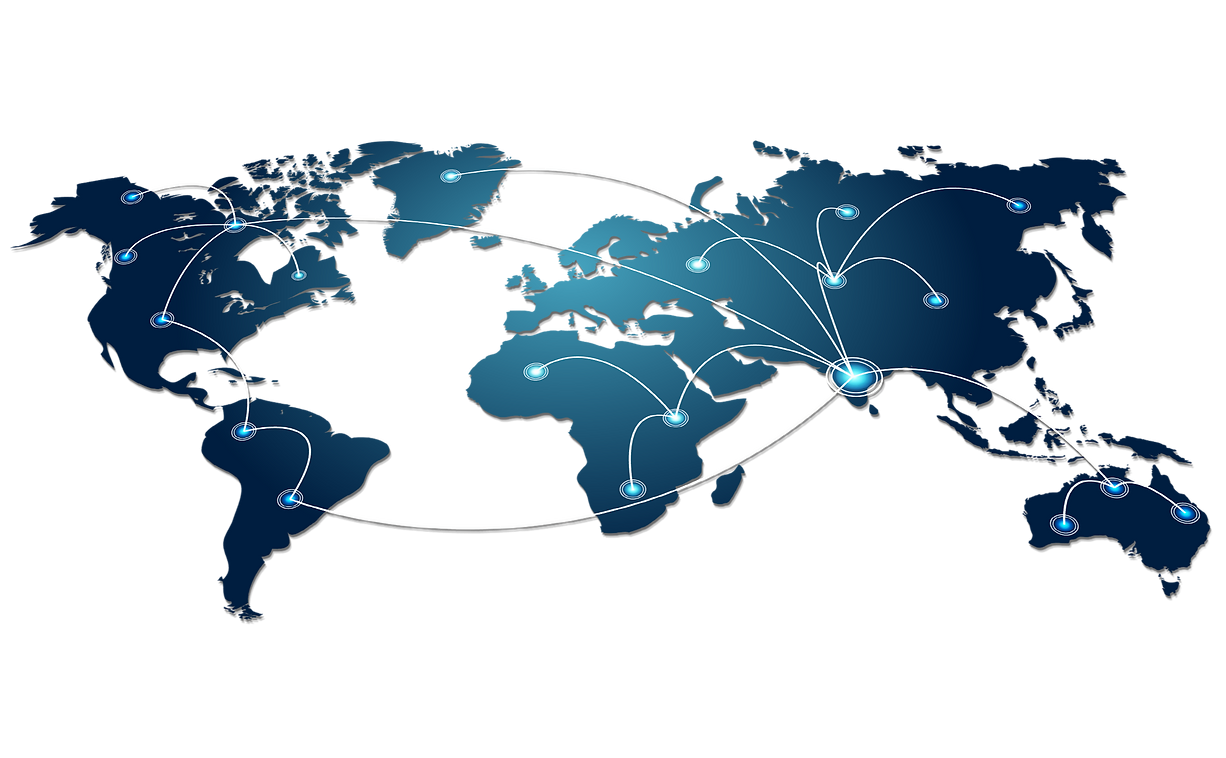
Global Service Experience
Services
LiDAR
Pre-processing and post-processing of aerial and terrestrial LiDAR data is a challenging task that demands specialized resources, tools, and hardware.Our Company offer the full suite of services necessary to create high accuracy surface models accorddance with our customers pre-defined specifications.
PhotoGeomentry
Our Company provide pre and post-processing servces for photo-geomentic data.
GIS
Our Company has well qualified industry expertise to deliver Geospatial solutions and services especially in Land Information Systems, Utility, Telecom, Transportation,Geology and Engineering sectors.