Our Company has well qualified industry expertise to deliver Geospatial solutions and services especially in Land Information Systems, Utility, Telecom, Transportation, Geology and Engineering sectors.
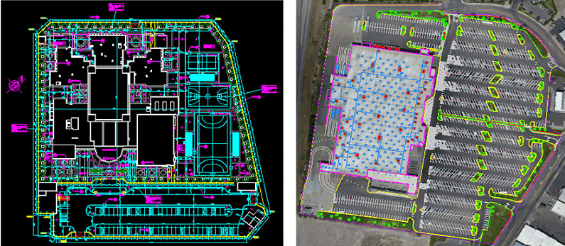
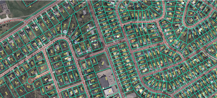
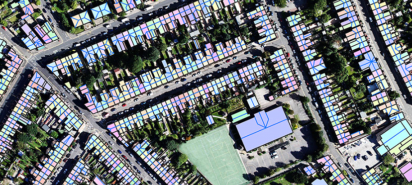
Our Company can receive the inputs of various domains such as Cadastral maps, Utility Maps, Geology maps, and engineering or architectural drawing in paper or a scanned Image format. Our Company will digitize/convert these maps to digital format according to the technical specification provided by the client. Our Company offers and delivers the quality output in various formats such as DWG, DGN, SHP, and MDB etc., as per the client requirements.
Our Company will follow the international data creation standards along with defined project process methodology to ensure the quality of the deliverables.
Our Company offers the following Data Creation services:

The primary objective that must be dealt with includes translating data from one system to another, migrating applications, building or enhancing the intelligent data model and migrating to a new user interface. Migrating data involves file reformatting, changing linkages to database management systems, redefining data models and many other critical success factors. For organizations migrating from older "dumb" mapping systems to intelligent GIS products, the effort also involves adding new database elements and the connectivity or topology needed to intelligently model facility networks. For those wishing to bring greater numbers of more casual users online or to standardize the look and feel of computer applications organization-wide, migration often requires movement to newer, Windows-like user interfaces.
Our Company offers;
Data migration also includes creating a seamless database and centralizing the database for further maintenance & updates.
Our Company offers data update/maintenance service to Public and Private Agencies. Our GIS professionals are well versed with data maintenance technique and standard
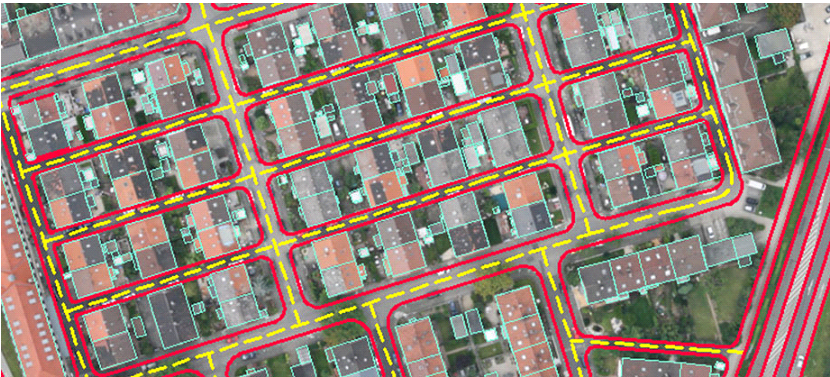
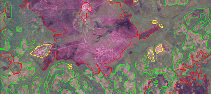
Our Company is capable of performing spatial alignment and modifies/adds/removes the maps feature according to latest orthophotography to suit the client requirement.
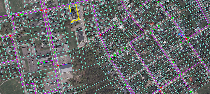
The rapidly changing landscape has necessitated aggressive maintenance of many spatial data sets, particularly land records and the county’s base map.
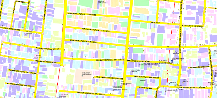
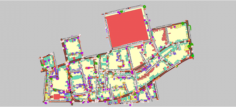
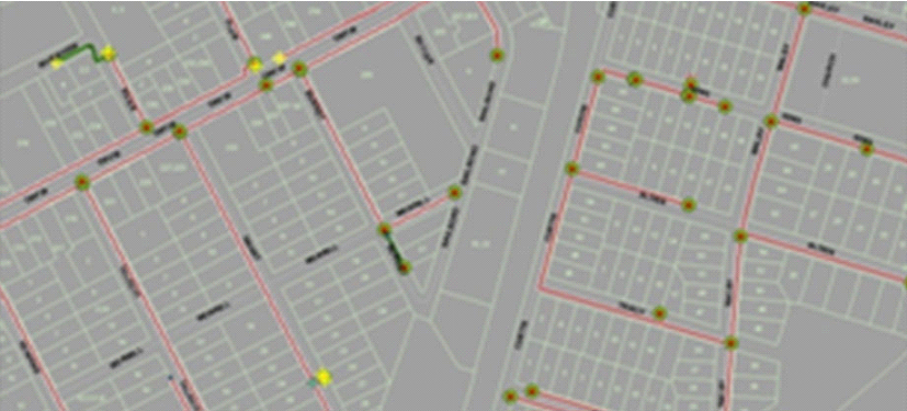
Our Company offers services to develop street address database for various federal and private agencies.Our Company is having the expertise to handle the large volumes of addresses and capable of developing custom geo-coding engines to handle complex datasets.
Our knowledge and expertise in spatial data stem from supporting land surveying and engineering, integrating Land Information with projects and related data.
In addition to looking after the various data systems, Our Company have an in-house capability to design and build bespoke software where existing solutions don’t exist.
Our Company Information Services Team extend the capabilities of our technology-based company, continually researching and evaluating new technologies, so that most appropriate methods and tools are used.
Our Company provides data collection and mapping services. The development of web-based GIS enables you to access real-time spatial information via the internet. We are able to deliver spatial data via applications and web services securely, customized (where necessary) to fit your requirements.
Based on customer/project requirement, Our team is capable of performing various types of analyses and modeling of GIS data sets such as:
GIS can be a great planning and decision making tool for telecom & Gas industries. Our Company enables wireless telecommunication & Gas organizations to incorporate geographic data into the complex network design, planning, optimization, maintenance, and activities. This technology allows telecom to enhance a variety of application like engineering application, customer relationship management, and location-based services.
Solutions range from Our Company hosting your data, building and hosting the map services as well as the front end web map application like Hunt CAD’s Interactive GIS Web map or we can design and implement a system for you in-house. With both of these solutions, we can also integrate ArcGIS Online. While Our Company does have some standard core offerings, some customization is available and we strive to ensure your satisfaction and make sure that your business needs align with system functionality. Give us a call if you would like to explore the possibility of having a robust web mapping application for your organization.
Our Company offers a wide range of Engineering Drawing conversion and drafting services, starting from raster to digital data conversion to drafting bureau services wherein Teams at Our Company works just like an extended arm to the architects, engineers, and planners. Our Company has extensive domain knowledge in Civil, Structural, MEP (Mechanical, Electrical, and Plumbing) and Architecture verticals and employs SMEs to better understand the scope of the work and to ensure the quality.